Find your property
Search an address, paste a parcel ID, or explore nearby parcels on the map.
Seattle zoning, site conditions, and housing possibilities in one place. Built for owners and builders planning their next move.
 LotFactorFeasibility, connected.
Public records.
One connected view.
From Seattle public records to a focused feasibility view. Find the facts and the questions that need further investigation.
Search an address, paste a parcel ID, or explore nearby parcels on the map.
Read parcel records alongside zoning, mapped constraints, and available development scenarios.
Save properties, return to recent searches, and export supported scenario reports.
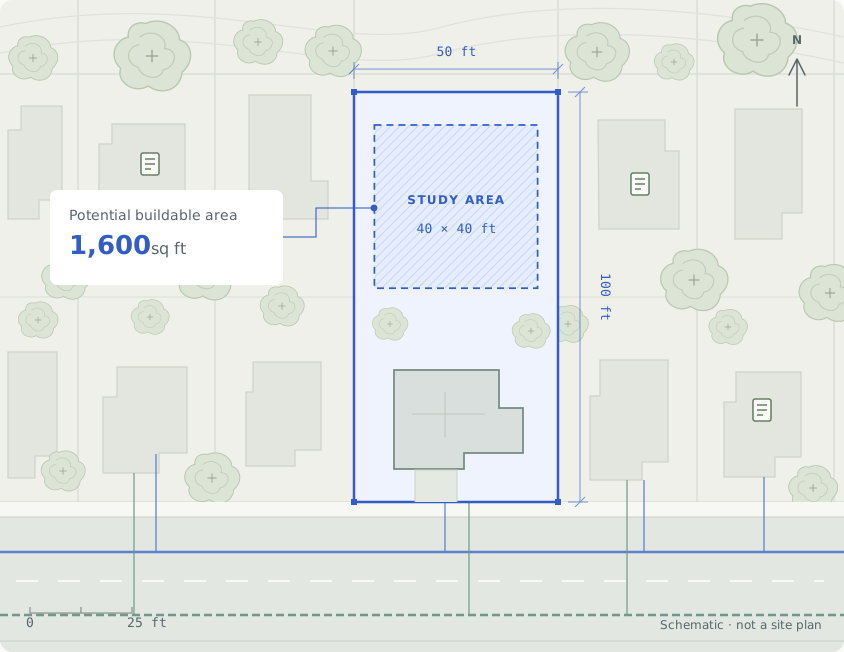
See parcel records, mapped constraints, and modeled possibilities together. Understand what is known and what still needs verification.
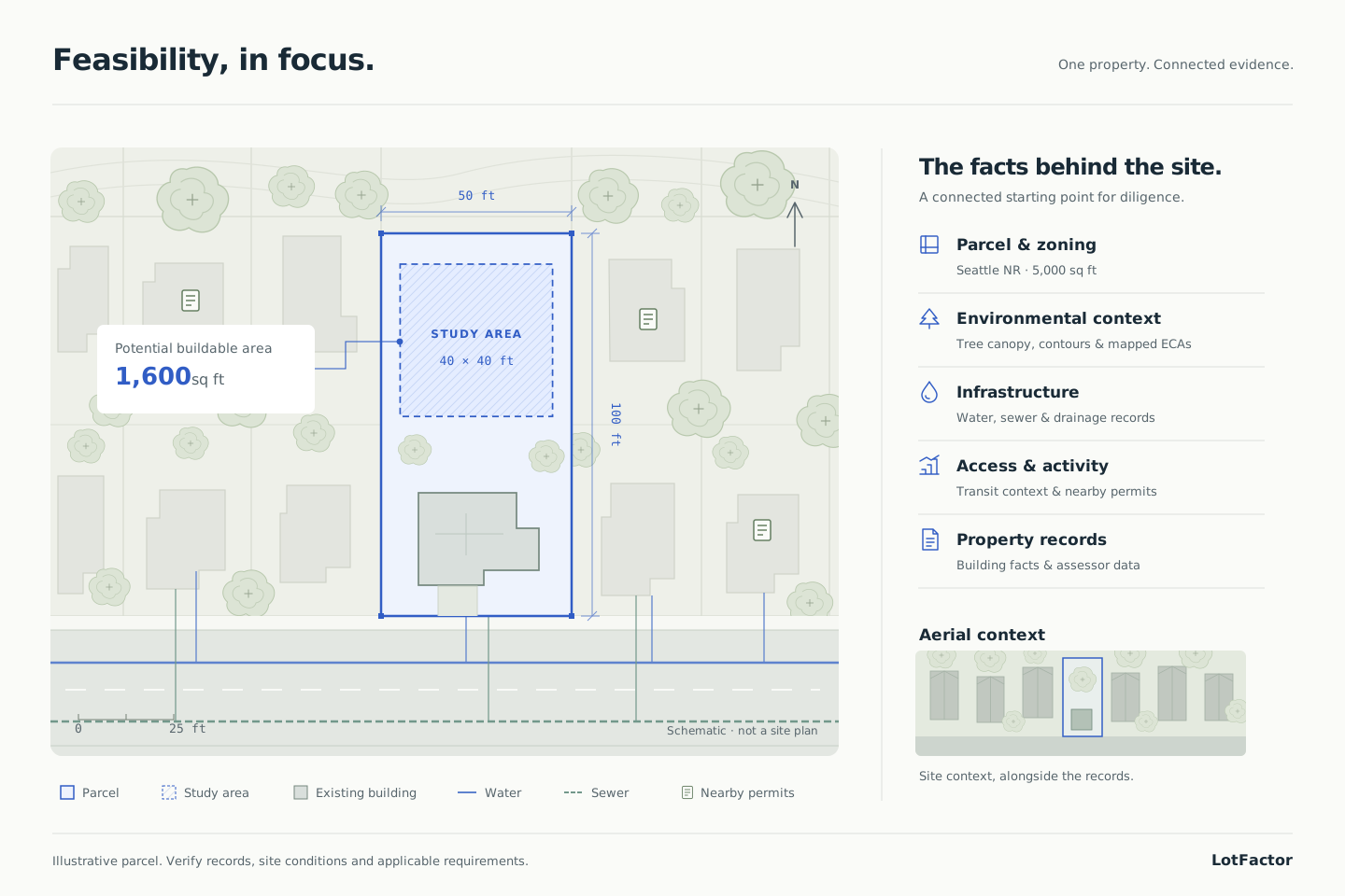
One property. Connected evidence.
A connected starting point for diligence.

Site context, alongside the records.
From the first property you screen to the shortlist you share, keep the details that matter in view.
Bring available parcel records, zoning, environmental overlays, transit, utilities, and permit context into the same view.
See modeled assumptions and verification gaps, so you know what to investigate next.
Save favorites, revisit recent searches, and export a PDF with parcel context and modeled results.
LotFactor specializes in Seattle residential feasibility. Automated development scenarios cover Seattle Neighborhood Residential (NR) lots, including housing and ADU options. Searches outside Seattle in King, Pierce, and Snohomish counties return basic county/state property records, approximate parcel measurements, and maps, without city-specific analysis or scenarios.
Review parcel and assessor records alongside Seattle zoning, mapped critical areas, trees, transit, utilities, and nearby permits. For NR lots, compare conditional housing and ADU scenarios, floor area, and coverage. Maps and approximate measurements help you identify questions for a survey and project review; they do not establish development approval.
Use it to screen opportunities and focus your next round of diligence. Modeled results are not permit approval. Verify source records, survey and title conditions, utility capacity, site constraints, and applicable code with the jurisdiction and qualified professionals before relying on a result.
Yes. A free account includes 100 property searches per month. No credit card is required. You can save favorite properties, revisit recent searches, and export PDF reports.
Put your next Seattle property into perspective.